NOAA Selects Fugro for Florida Geo-data Survey | Mariner News
Fugro has been awarded a contract by the National Oceanic and Atmospheric Administration (NOAA) to conduct extensive seafloor mapping along Florida’s Atlantic coast, a critical initiative to bolster maritime safety and economic resilience across one of the United States’ busiest coastal regions.
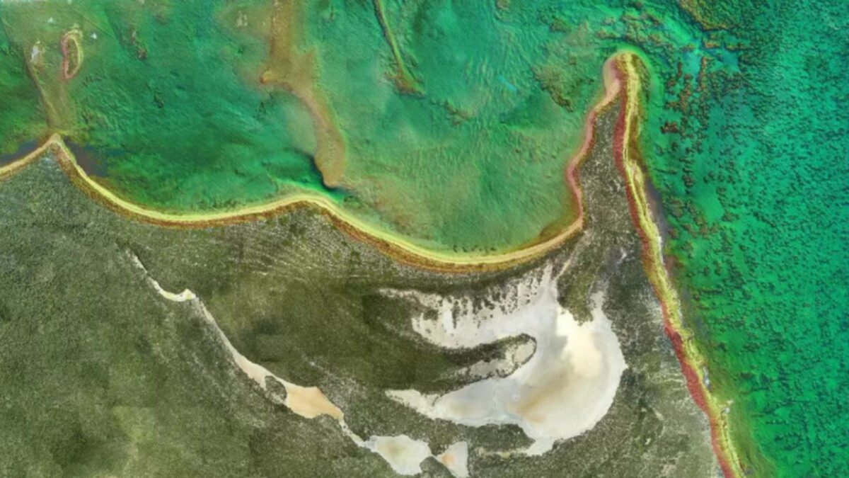
Under the contract, Fugro will deliver hydrographic surveys across approximately 3,200 square kilometres of Florida’s Atlantic waters. The data is earmarked for NOAA’s Office of Coast Survey to update nautical charts, which are indispensable for commercial shipping, government operations, and recreational boating activities.
This undertaking directly addresses the significant operational challenges posed by severe storms and ongoing commercial expansions, both of which are rapidly reshaping Florida’s coastlines. Accurate and current seafloor data is paramount for preventing hazardous groundings in shifting shallow inlets and supporting the safe passage of commercial vessels.
Beyond immediate safety, these continuous hydrographic updates directly protect billions in trade along the Atlantic and Gulf Intracoastal Waterways. The provision of precise bathymetry is also crucial for safeguarding vulnerable marine ecosystems while facilitating efficient maritime commerce in a dynamic environment.