

Autonomous Robot Trial Advances Floating Offshore Wind Environmental Data
A successful AUV trial off Plymouth demonstrates new sensor capabilities for monitoring the environmental impact of floating offshore wind projects.
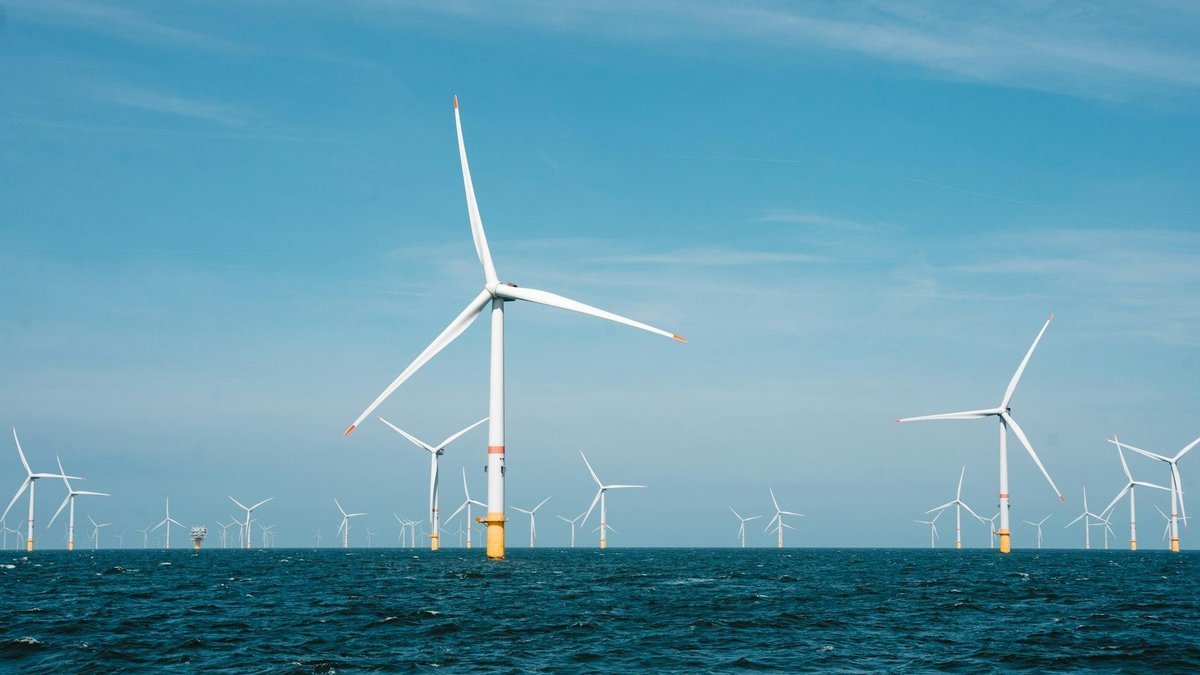
A two-week trial of the ALR1500 autonomous underwater vehicle (AUV) off the coast of Plymouth has successfully integrated biological and physical sensors, marking a shift in how the maritime industry prepares for large-scale floating offshore wind (FLOW) deployments. The mission, led by the University of Plymouth and the National Oceanography Centre (NOC), demonstrated the ability of long-endurance robots to map complex marine ecosystems in near-real time.
The deployment is a critical component of the Frontline consortium, a £3.5 million project funded by the Natural Environment Research Council and The Crown Estate. By equipping the AUV—widely known as Boaty McBoatface—with a scientific echosounder, hydrophones, and a miniaturized holographic plankton imaging sensor, researchers were able to observe marine life alongside the physical and biogeochemical conditions that dictate its distribution.
Monitoring the Wake Effect
The significance of the trial extends beyond hardware testing; it addresses a primary environmental concern for the next generation of offshore energy. As floating offshore wind moves into deeper, seasonally stratified waters like the Celtic Sea, the submerged infrastructure—including massive floating foundations and mooring systems—presents a new variable in ocean dynamics.
Currents flowing past this submerged infrastructure can generate wakes and enhanced vertical mixing. This has the potential to alter the strength, location, and persistence of ocean fronts, which are the boundaries between mixed coastal waters and stratified offshore waters. Because these fronts are essential foraging habitats for marine predators and support commercial fisheries, understanding how infrastructure disrupts these features is vital for regulatory approval and sustainable development.
Satellite-to-Subsurface Coordination
The trial utilized a sophisticated over-the-horizon piloting system that integrated satellite remote sensing with autonomous navigation. Satellite observations identified surface ocean fronts, which were then used to guide the AUV across these dynamic boundaries in real time. This allowed the team to connect surface patterns seen from space with high-resolution data collected throughout the water column.
Among the technical milestones was the first long-endurance test of the HOLOtag, a holographic plankton imaging sensor. By capturing data on plankton—the foundation of the marine food web—alongside temperature, salinity, and turbulence, the system provides a comprehensive baseline of the ecosystem before industrial-scale construction begins.
Operational Implications for 2027
The success of the Plymouth trials establishes the operational framework for more extensive scientific surveys planned for the Celtic Sea in 2027. For offshore developers and maritime contractors, this suggests that future environmental impact assessments (EIAs) for floating wind will likely require higher-fidelity, multi-trophic data than traditional fixed-bottom projects.
The ability to deploy autonomous systems for sustained periods reduces the need for manned research vessels, lowering both the carbon footprint and the operational cost of environmental monitoring. As the industry moves toward deeper waters, the integration of AUVs and satellite data will become the standard for safeguarding marine biodiversity while expanding renewable energy capacity.
Source: Marine Insight