Philippines Says Chinese Sea Gliders Were Used for Covert Mapping
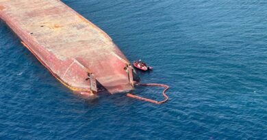
Between 2022 and 2024, Philippine fishermen found five suspicious seaglider drones in a variety of locations between Luzon and Mindanao. An American-assisted forensic review of the devices shows that they were designed to collect data that could be used for “underwater warfare,” according to the Armed Forces of the Philippines.
In a press conference Tuesday, AFP spokesman Rear Admiral Roy Vincent Trinidad said that the devices were found in locations that are “important strategically in the defence and security not only of the country, but for international maritime navigation.” Three were in the Taiwan Strait off Luzon; one was found off Masbate, near the center of the Philippines’ internal waters; and one was found off Mindanao, the southern end of the archipelago. “Most likely, these were dropped by a mothership,” he said.
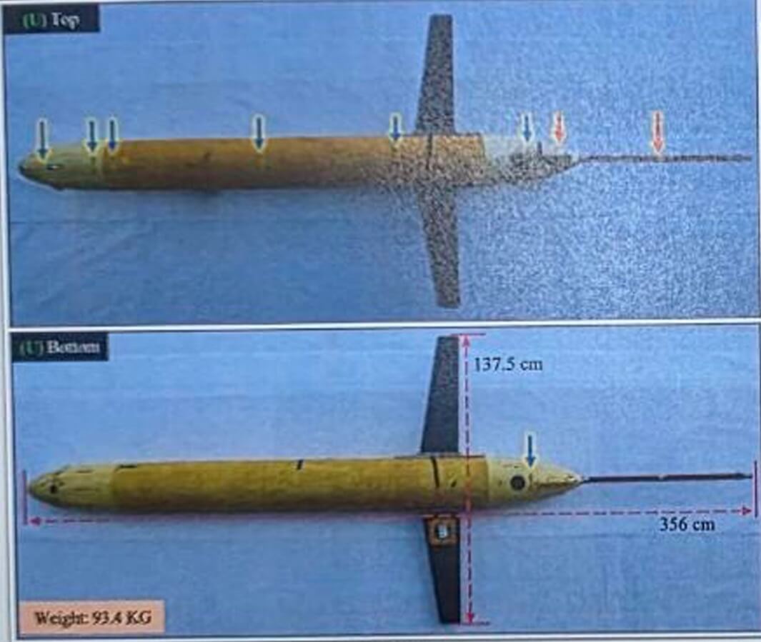
Trinidad said that they were capable of collecting data “beyond navigation.” The sensor package aboard could be used to measure bathymetry, water depth, salinity and temperature – all essential data for operating or hunting submarines. Jonathan Malaya, a member of the National Task Force for the Philippine Sea, told media that the drones were “in all likelihood deployed by China to map the Philippines’ underwater terrain.”
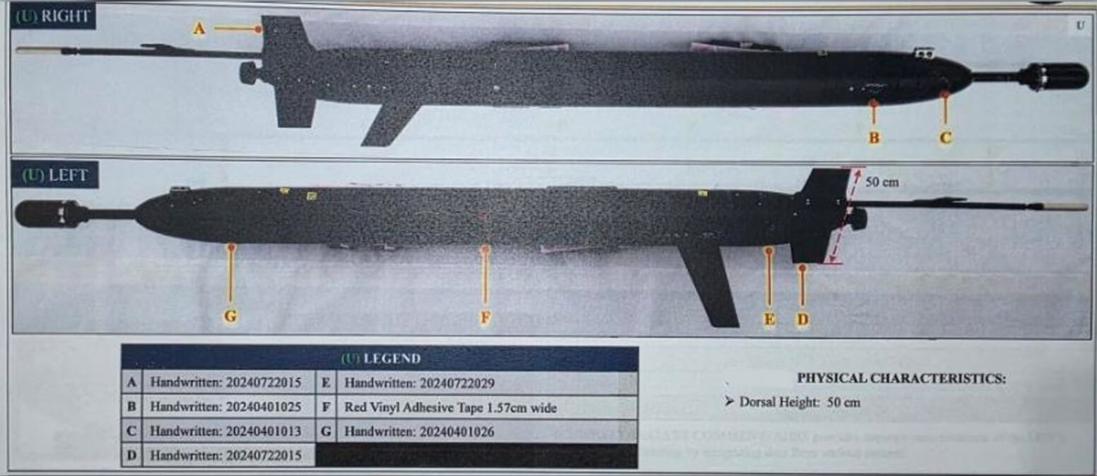
Out of the five drones, at least one had sent signals to China, based on a forensics exam of a cell SIM card found aboard the drone. “The last contact of the card was in mainland China,” Trinidad said. Two drones also had Chinese markings.
Based on the evidence, Trinidad put the probability that the drones belong to China at about 55-80 percent. Malaya went further, and said that the forensic data “allowed us to conclusively determine that they are of Chinese origin.”
Few nations make seaglider drones, and images of some of the devices displayed Tuesday appear similar to the Chinese-built “Sea Wing” (Haiyi) UUV developed by the Chinese Academy of Sciences, previously found in sensitive waterways in Indonesia in 2019-20. The AFP also displayed photos of an unusual all-black glider, fitted with larger protrusions fore and aft.
The reveal of the new forensic evidence comes just days ahead of the launch of annual U.S.-Philippine Balikatan defense drills. This year, 14,000 troops will participate, the majority from the United States. “It’s a defense plan being tested,” Philippine Army Brigadier General Michael Logico told media.
In time for the exercise, Google Maps has adopted the Philippines’ name for waters in its western exclusive economic zone, an area that is also claimed by China. Users of the Maps app will now find a marginal sea with a Philippine sovereign name – the West Philippine Sea – just off the coast of Luzon and Palawan. The decision has angered Chinese commentators, who would prefer to continue the use of the name “South China Sea” for the entire region.