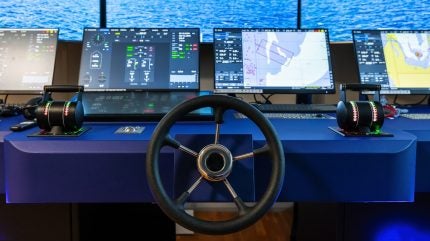

A new UK research programme aims to train Maritime Autonomous Surface Ships (MASS) how to process and respond to official navigational data without waiting for human input.
The project was launched in Plymouth by the UK Hydrographic Office and Marine AI, a company specialising in maritime autonomy software.
Discover B2B Marketing That Performs
Combine business intelligence and editorial excellence to reach engaged professionals across 36 leading media platforms.
Over the next eight months, Marine AI will adapt its large language model (LLM) to convert ADMIRALTY Sailing Directions (SDs) and Radio Navigation Warnings (RNWs) from their current human-readable formats into structured data suitable for autonomous systems.
The integration of this data into Marine AI’s GuardianAI platform aims to support real-time, independent decision-making by autonomous vessels using the same navigational information as crewed ships.
Marine AI technical director Oliver Thompson said: “This is the first time anyone has attempted to process ADMIRALTY Sailing Directions and Radio Navigation Warnings in a way that an autonomous control system can act upon.
“By proving this capability on the water, we are closing one of the biggest gaps in MASS autonomy and taking a major step toward safe, fully automated operations.”
At present, autonomous ships depend on human operators to interpret navigation data that is often text-heavy and formatted in legacy styles.
By retraining a tailored LLM and developing supporting AI agents, the project intends to transform unstructured and non-standard information into machine-readable formats for GuardianAI’s tactical functions and human–machine interface.
The project will conclude with an on-water demonstration in Plymouth in spring 2026, using ZeroUSV’s Oceanus12 vessel equipped with the GuardianAI suite.
The research will also contribute to the International Hydrographic Organization’s S-100 data framework, which is expected to serve as the universal standard for future navigation systems.
UK Hydrographic Office design and innovation research head Mark Casey said: “Working with Marine AI allows us to push the boundaries of how autonomous systems can use official hydrographic information.
“The outcomes will not only support the safety of lives at sea but also feed directly into the development of the IHO’s S-100 framework, ensuring that UK Hydrographic Office data continues to set the global benchmark for safe navigation in both crewed and uncrewed vessels.”
The capability for MASS to interpret and act on official navigation data is expected to support faster responses to navigational warnings, assist in international standard setting, and promote the wider use of autonomous vessels in commercial, research, and defence contexts.
In July this year, Teledyne CARIS and UK Hydrographic Office announced a three-year strategic collaboration to enhance hydrographic data processing and nautical chart production.
This partnership aims to benefit the global hydrographic community and improve the UK Hydrographic Office’s ADMIRALTY products.


